

YEARS OF EXPERIENCE
- Learn More
Explore
the
Future of Geospatial Excellence
At Geolat Solutions, we go beyond conventional mapping and surveying to provide precise, data-driven insights tailored to your project needs. Whether you’re planning a construction project, verifying land boundaries, or conducting underground scans, our expertise ensures accuracy, efficiency, and reliability.
- High-precision land & cadastral surveys
- Advanced aerial and topographical mapping
- State-of-the-art GPR scanning for underground detection
- Our Services
Geospatial & Engineering Solutions
At Geolat Solutions, we provide high-precision mapping, surveying, and engineering services to support various industries.
Land & Cadastral Surveying
We provide comprehensive land and cadastral surveys to define property boundaries, legal land divisions, and ownership details with high accuracy.

- Our Values
Guiding Principles at Geolat Solutions.
At Geolat Solutions, our commitment to excellence is driven by core values that define our work and relationships with clients.
Accuracy &
Precision
We ensure every project is executed with the highest level of accuracy using cutting-edge technology.
Innovation
We embrace modern geospatial solutions to provide efficient and reliable results.
Integrity
We uphold transparency, honesty, and professionalism in all our engagements.
Customer-Centric
Approach
Our clients are at the heart of what we do, and we strive to meet their unique needs.
- Our Projects
Delivering Precision & Excellence Across Industries.
At Geolat Solutions, we take pride in executing high-quality geospatial and engineering projects that drive success for our clients. Our expertise spans various sectors, including real estate, construction, infrastructure, and environmental management.
- Our Testimonials
Building Success Stories, Building Trust.
At Geolat Solutions, we take pride in delivering exceptional geospatial and engineering services. Here’s what our satisfied clients have to say:
Geolat Solutions provided precise cadastral surveys that helped us finalize our land subdivision without delays. Their professionalism and accuracy are unmatched!
- FAQ
Answers to Your Most Common Questions
We specialize in land & cadastral surveys, aerial mapping, topographical mapping, GPR scanning, and engineering surveying.
Our services support real estate, construction, infrastructure development, environmental studies, and more.
We use advanced technology, including GPS, drones, and GPR scanning, ensuring 99% accuracy in all our geospatial data
The duration depends on the size and complexity of the land. Most surveys are completed within a few days to a few weeks.
Yes! Our drone technology allows us to efficiently map large areas with high-resolution imagery.
Geolat Solutions – Your Trusted Partner in Geospatial Excellence! 🚀
- Contact Us
Get in Touch with Geolat Solutions
Have a project in mind or need expert geospatial solutions? Our team is ready to assist you!
Kism Towers,Ngong Road Nairobi
Visit us
Send Message
- Latest News
Stay Informed with the Latest Geospatial Insights
Welcome to the Geolat Solutions blog, where we share expert knowledge, industry trends, and innovative solutions in geospatial technology. Stay updated on how mapping, surveying, and engineering advancements are shaping the future.
How Aerial Mapping is Transforming Infrastructure Planning
Introduction Infrastructure development relies heavily on accurate data for efficient planning and execution. Traditional surveying methods, while effective, can be time-consuming and labor-intensive. Aerial mapping, powered by advanced drone technology and Geographic Information Systems (GIS),…
The Importance of Accurate Land Surveys in…
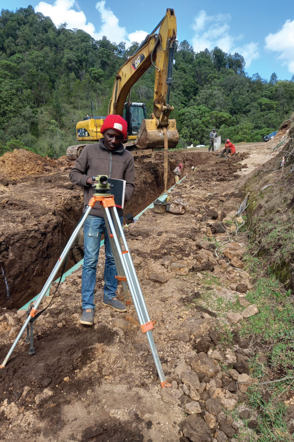
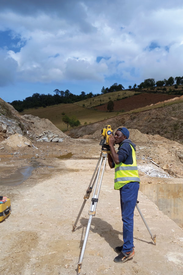
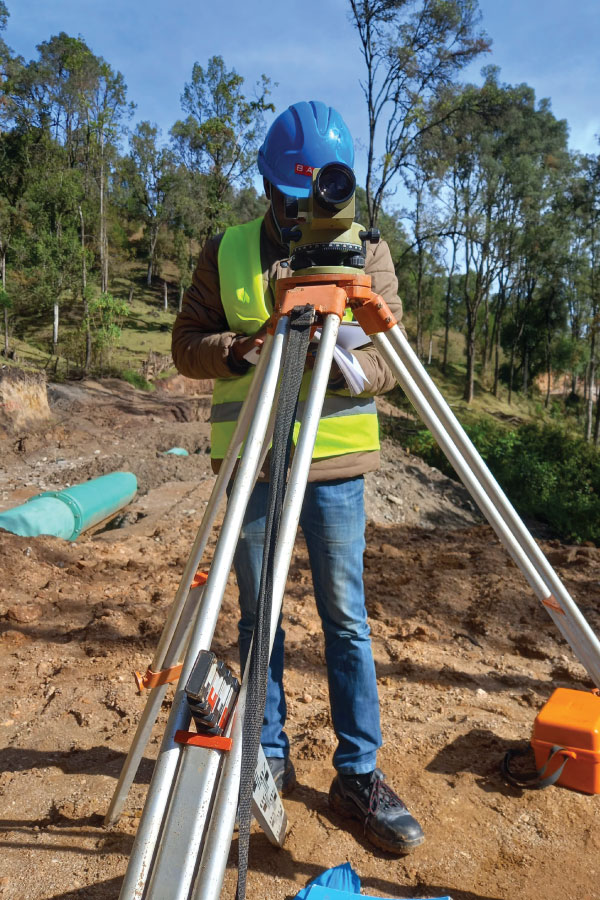
Introduction Land surveying is the foundation of successful property development. Whether you’re purchasing land, constructing buildings, or planning infrastructure, accurate surveys provide essential data for informed decision-making. Without precise land measurements, developers risk legal disputes,…